TRAVEL SCENIC UTAH THROUGH 360° CLICK AND DRAG PANORAMAS BY MARTIN VAN HEMERT
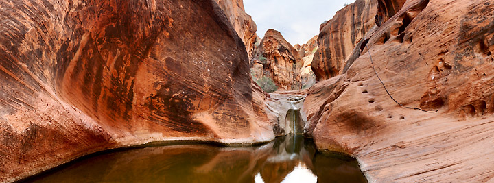
Red Reef
Lost Lake
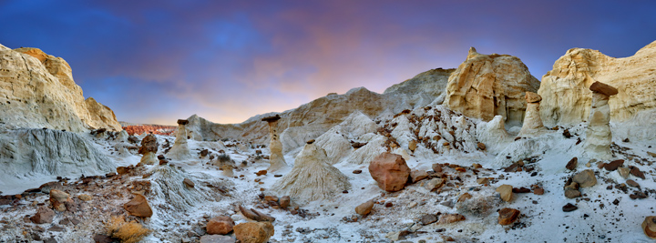
Paria Rimrock Toadstools
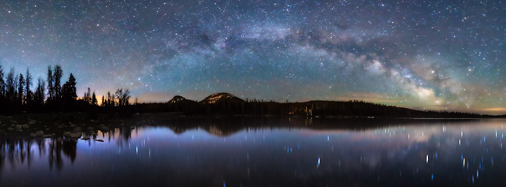
Stars and Clouds Above Utah Lake
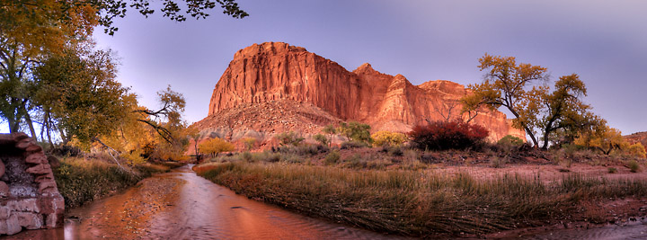
Sulphur Creek – Capitol Reef National Park
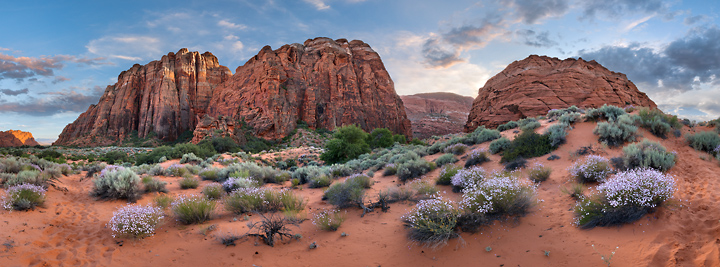
Snow Canyon Flowers
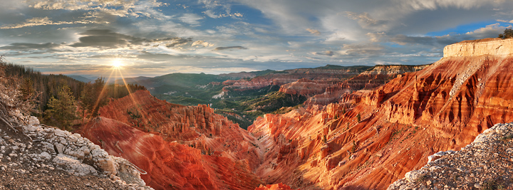
Cedar Breaks National Monument
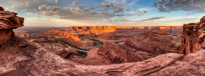
Dead Horse Point
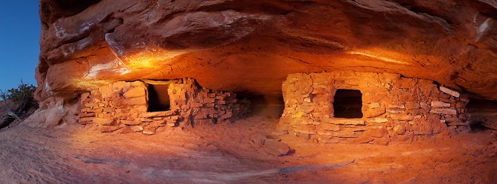
Anasazi Granaries-Canyonlands
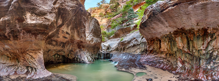
Upper Subway – Zion National Park
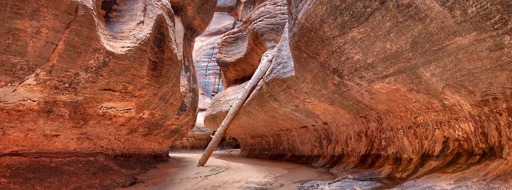
The Subway – Zion National Park
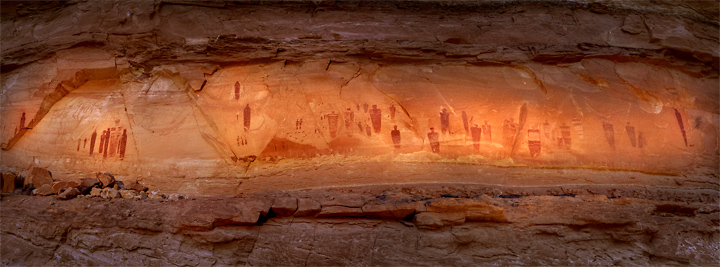
The Great Gallery – Canyonlands